Geography professor helps preserve historic Toomer’s Oaks
Luke Marzen has been a geography professor at Auburn for 10 years. Originally from Iowa, Marzen said he has grown to love Auburn, especially the traditions surrounding university athletics.
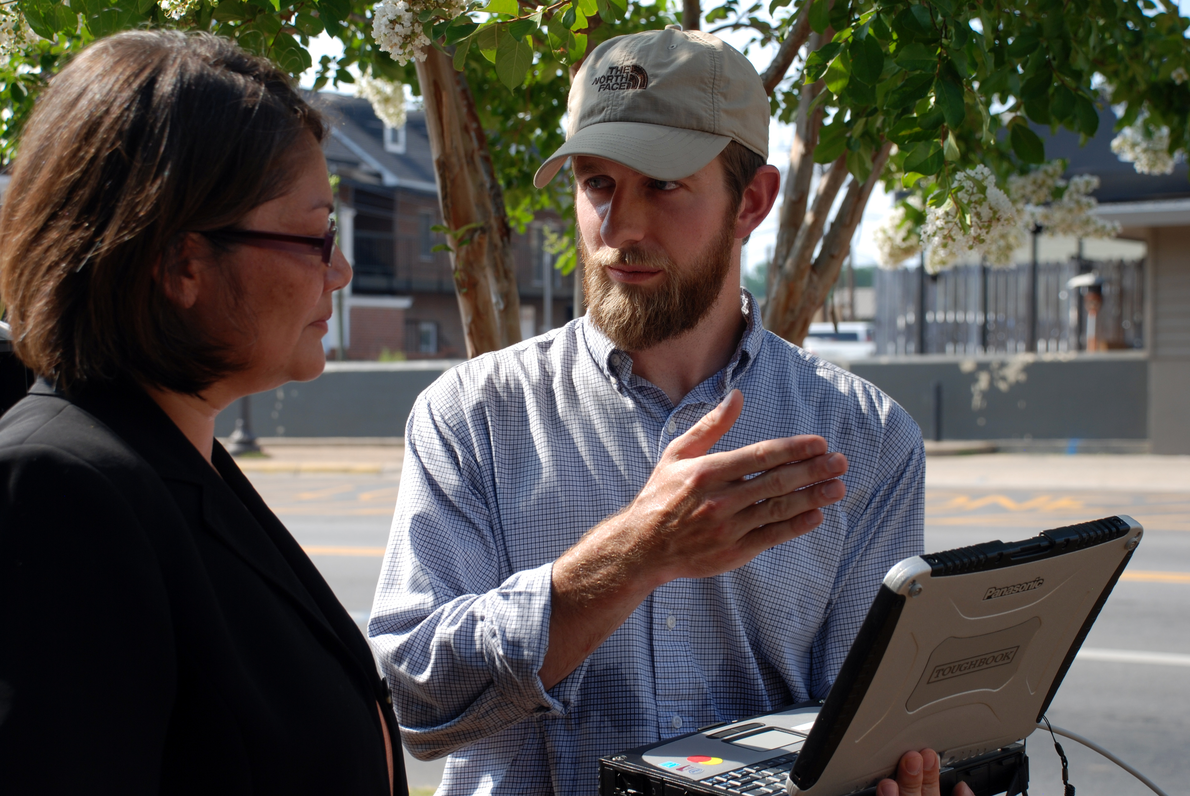
“I have rolled Toomer’s corner a couple of times but more than anything, I like to go there after football wins and just enjoy the atmosphere,” Marzen said. “I was in Washington for the annual Meteorology Society meeting when the news broke that the trees had been poisoned. I was pretty shocked when I heard. My first thought was of trying to contact my former student, Dusty Kimbrow (’08), to do a scan of the trees.”
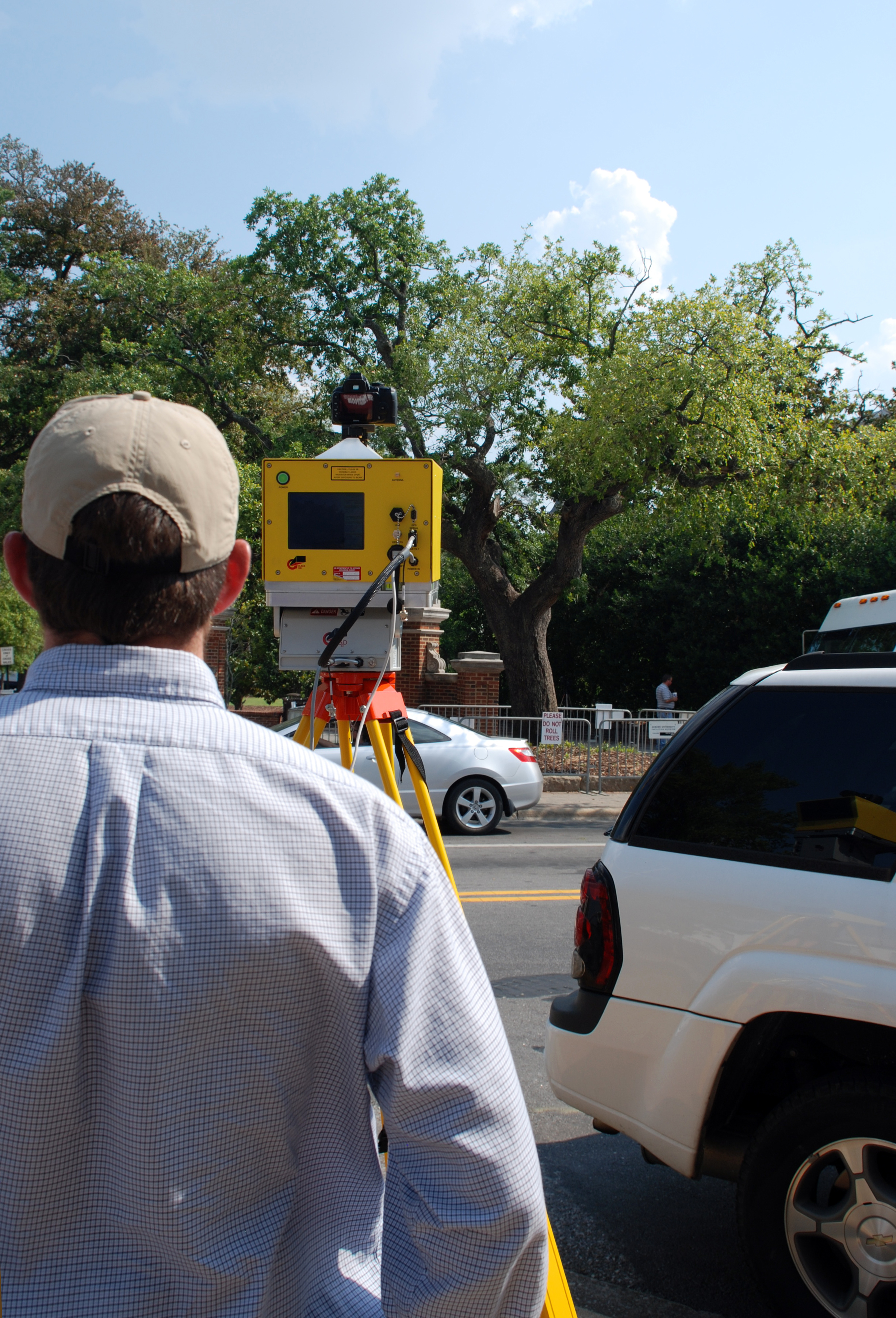
Marzen spurred collaboration between Auburn University and the U.S. Geological Survey (USGS) Alabama Water Science Center, where Kimbrow works. The center owns a tripod-mounted laser scanner, also known as terrestrial light detection and ranging or T-LiDAR. The T-LiDAR sends out a laser that scans anything within range and produces a three-dimensional replica. The USGS Alabama Water Science Center uses T-LiDAR to create three dimensional models of the land surface, enabling them to record the topography of a region and monitor for erosion, quantify erosion or even monitor landslides. However, according to USGS Alabama Water Science Center Director, Athena Clark ’90, T-LiDAR is used to scan a variety of things from historic buildings to monitoring caves and glacier snow melts.
“The possibilities are almost endless,” said Clark. “Dr. Marzen contacted Dusty because he knew we had the T-LiDAR instrument and was curious about the application of using it to scan the oaks. I was curious myself. We don’t usually use it to scan trees. I was very interested in seeing what the outcome was.”
With curiosity peaked and knowledge of the far-reaching capabilities of T-LiDAR equipment, Clark and Kimbrow agreed to work with Marzen to get a scan of both oak trees at Toomer’s corner.
“We scanned the large oak first,” said Marzen. “The results of the scan can tell us the height of the tree, the volume of wood and the expanse of the canopy. We might even be able to get another scan in a few months and compare it to the one we already took. This would allow us to get an estimate on any loss of foliage.”
Marzen, Kimbrow and Clark also recently scanned the smaller Toomer’s Oak.
“The T-LiDAR created an exact three-dimensional model of both trees,” Clark said. “In the future, someone could even take that data set and essentially create a replica of the tree or a scale model if they so wished. We call it a historical preservation of the tree because every dimension is captured in XYZ coordinates.”
Marzen was so pleased with the results of the Toomer’s Oak trees T-LiDAR scan he is working with Horticulture professor Gary Keever and Forestry and Wildlife Sciences professor Art Chappelka as they explore the logistics of a possible project that would allow them to scan all of the trees on the Auburn University campus.
“The purpose of the study would be to measure the overall quality and health of all the trees on Auburn’s campus,” said Marzen. “Plus, it would be nice to have a historical record of Auburn’s more than 8,000 trees.”
Latest Headlines
-
04/18/2024
-
04/18/2024
-
04/18/2024
-
04/17/2024
-
04/12/2024
