Geology and Geography
Mark Steltenpohl, Department Chairman
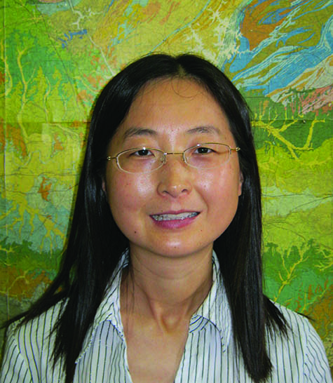
Li uses GIS and spatial analysis skills to evaluate health disparities
 How does geographic region influence economic and social inequality? That’s one of the questions newcomer Yingru Li is trying to answer. An assistant professor in the Department of Geology and Geography, Li’s prior research focused on China and its regional disparities in both economics and healthcare. Utilizing spatial statistics and Geographic Information
Systems (GIS), Li visualized inequality patterns within and among three regions in China, coastal, central, and western, and worked to determine the underlying factors of socioeconomic disparities.
“I came from China and feel this is an interesting topic, especially since China has attracted attention for its regional inequality,” Li said. “Two of the things that limit access to healthcare are cost and location. Those in the rural areas have to travel to urban areas for healthcare; and the cost of healthcare has increased so dramatically in the last 20 to 30 years, the poor cannot afford to see doctors.”
Since her arrival to The Plains in fall 2012, Li has also become interested in utilizing her GIS and spatial analysis skills to evaluate health disparities like childhood obesity in Alabama’s Black Belt region.
“My focus will be on minority populations. I will conduct surveys, gather firsthand data, and go to primary schools and interview children,” Li said. “Childhood obesity is a big issue for public health.
Southern children have a greater prevalence of being overweight or at risk of being overweight, contributing to an increased risk of chronic diseases compared to children across the U.S. In Alabama, nearly half of rural black children are overweight or obese, compared to about 35 percent of white children. From a public health perspective, it is imperative to thoroughly understand the inequality patterns of childhood obesity and the complex underlying factors in Alabama’s Black Belt region where large rural black populations live.”
Besides urban and economic research, Li also works on projects in physical and environmental geography with GIS applications. For example, she studies surface water quality and land use, the Everglades Depth Estimation Network water-surface model of south Florida, and air temperature modeling and prediction in the U.S.
Li’s interest in geography was influenced by her father. “My father was a geologist, but he also liked geography and history and would frequently bring books home when I was little. I found them interesting,” Li said.
Li received her bachelor’s degree from Shandong University in Shandong, China, a master’s degree in GIS from the University of Cincinnati, and a doctorate in geography from the University of Utah. Her husband, Zhongwei Liu, is also a geographer.
“We went to the same high school and later, the same college,” Li explained.
In the classroom, Li is teaching undergraduate and graduate students, and courses include economic geography, global geography, quantitative methods and spatial analysis, and GIS applications, which is a new course.
Li said she enjoys living in Auburn and especially likes the warm, humid climate.
“The climate is a lot like my hometown and the environment is very green compared to Las Vegas,” said Li, who was living in Las Vegas prior to coming to Auburn.
For more information on Li, visit www.auburn.edu/cosam/faculty/ geology_geography/li/index.htm.
